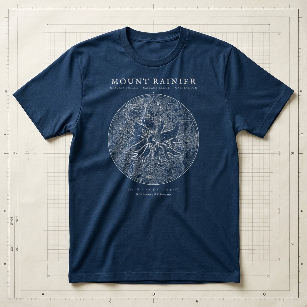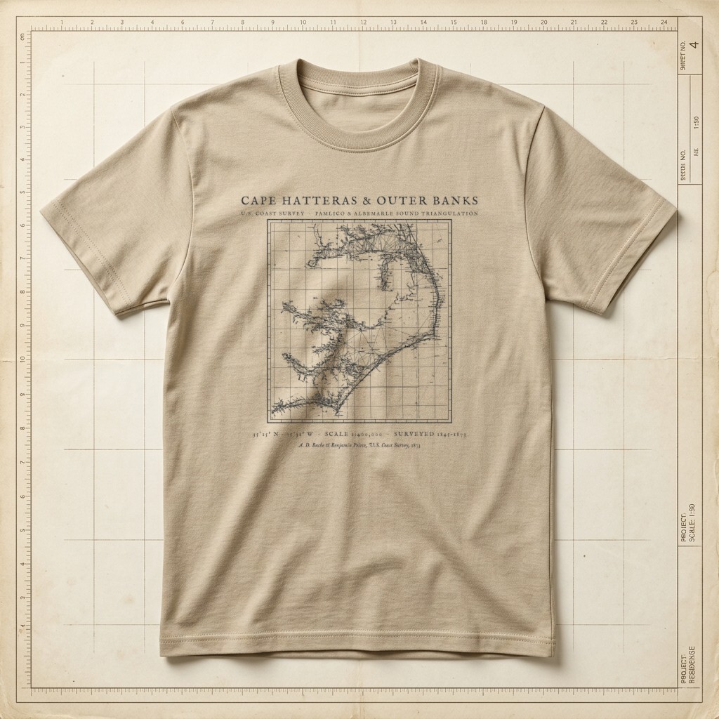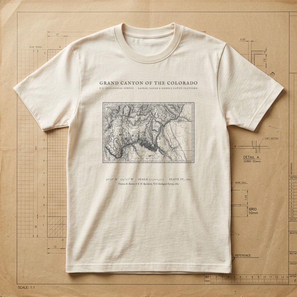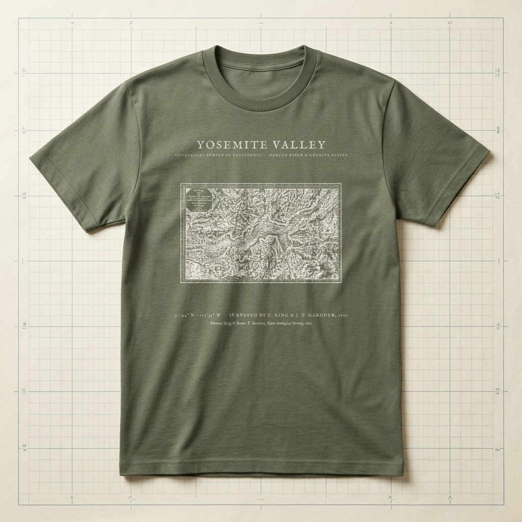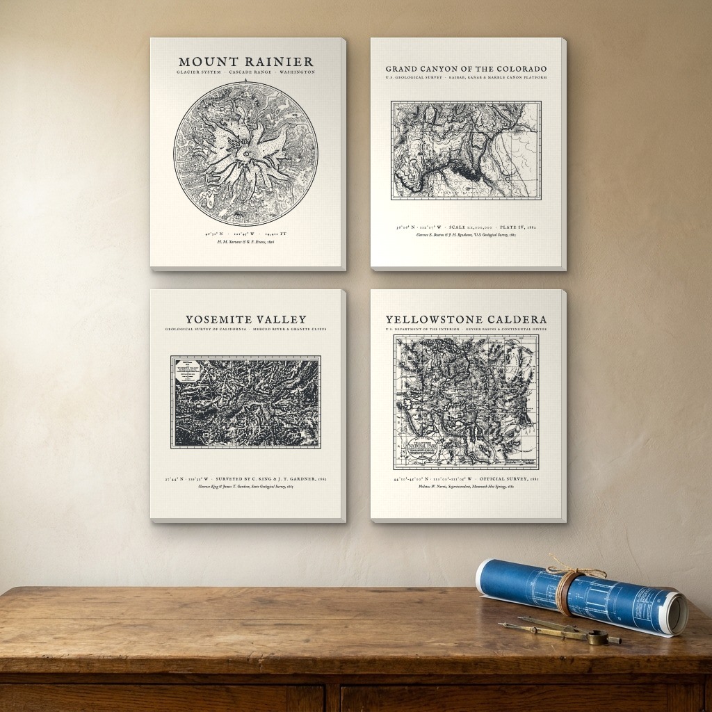
1865–1896 Topographic & Glacier Surveys • Rainier, Grand Canyon, Yosemite & Yellowstone
•4-Panel Stretched Canvas SetAmerican National Parks Historic Survey Quartet (4-Panel Canvas Set)
Four pioneering 19th-century expedition and geological surveys of America’s crown-jewel landscapes: Sarvant & Evans’s 1896 cyanotype glacier survey of Mount Rainier (M-01), Capt. Clarence E. Dutton’s 1882 USGS topographic survey of the Grand Canyon of the Colorado (M-03), Clarence King & James T. Gardner’s 1865 hachure survey of Yosemite Valley (M-04), and Philetus W. Norris’s 1881 official Interior Department expedition map of the Yellowstone Caldera & Geyser Basins (M-08).
Archival matte cotton-poly canvas (344 gsm) hand-stretched over kiln-dried 1.25" solid pine stretcher bars with color-wrapped architectural edges and pre-installed hanging hardware.
| Format | Per-Panel Dimensions | 4-Panel Wall Span |
|---|---|---|
| 12 × 16 in | 12" W × 16" H × 1.25" D | 27" × 35" (Grid) or 57" W (Row) |
| 16 × 20 in | 16" W × 20" H × 1.25" D | 35" × 43" (Grid) or 73" W (Row) |
| 24 × 30 in | 24" W × 30" H × 1.25" D | 51" × 63" (Grid) or 105" W (Row) |
What do you think of this design?
Tell us what you love or what you would change about the illustration, wording, banner layout, or shirt colors.
More from Hand-Drawn Maps & Antiquarian Charts