Collection II • Hachure Relief Surveys • Nautical Soundings & Rhumb Lines
Hand-Drawn Maps & Antiquarian Charts
Hand-inked alpine hachure maps, coastal mariner charts with radiating compass roses, basin depth profiles, and historic geological surveys.
14 Designs • Available in Heavyweight ($32) or Soft ($28)
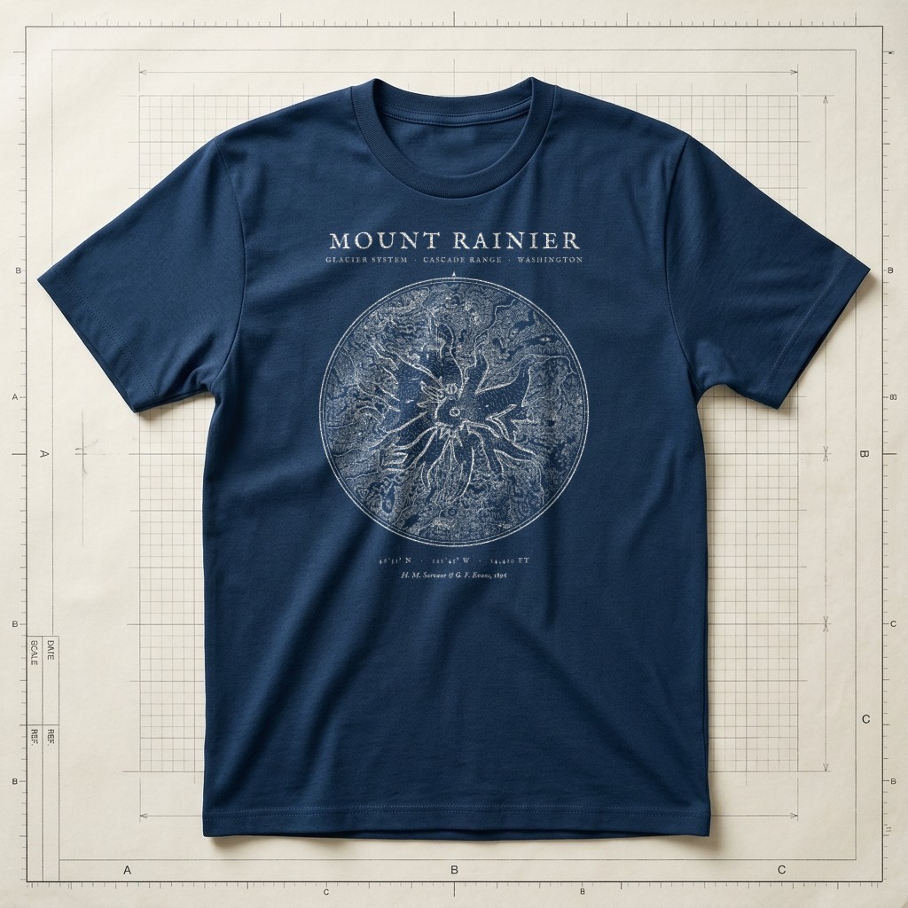
1896 Glacier Survey • 46°51′N 121°45′WSource ↗
Prussian Blueprint Navy
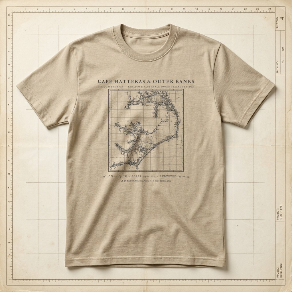
U.S. Coast Survey • Pamlico Sound & Diamond Shoals TriangulationSource ↗
Warm Sandstone
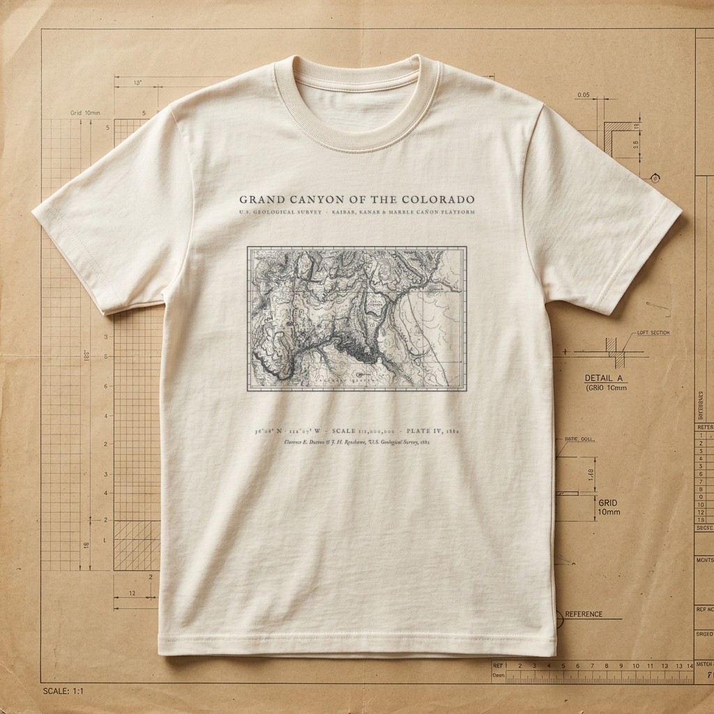
Clarence E. Dutton USGS Plate IV • Kaibab to Marble Cañon • 1882Source ↗
Drafting Paper Ivory
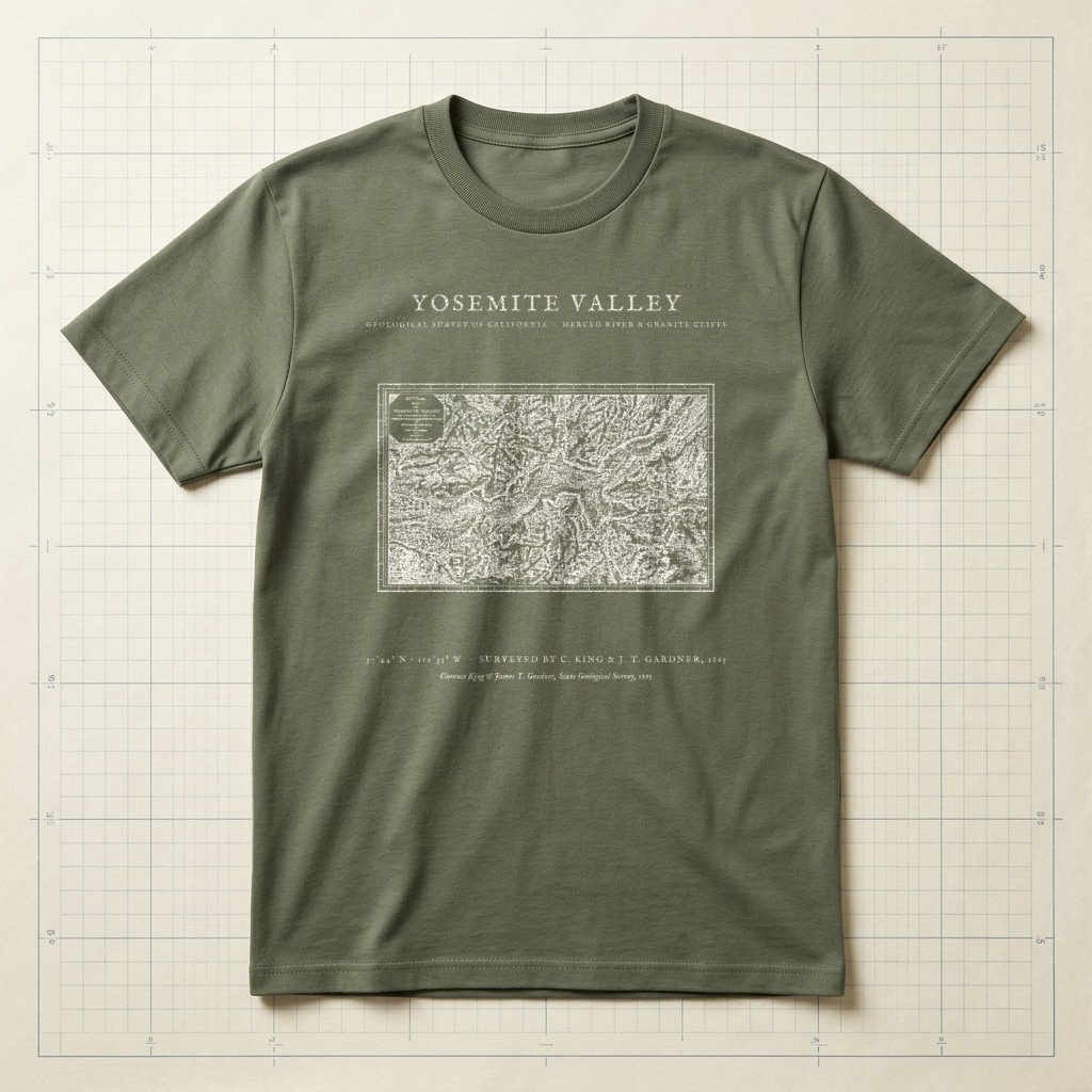
El Capitan • Half Dome • Merced River • 1865 SurveySource ↗
Field Olive
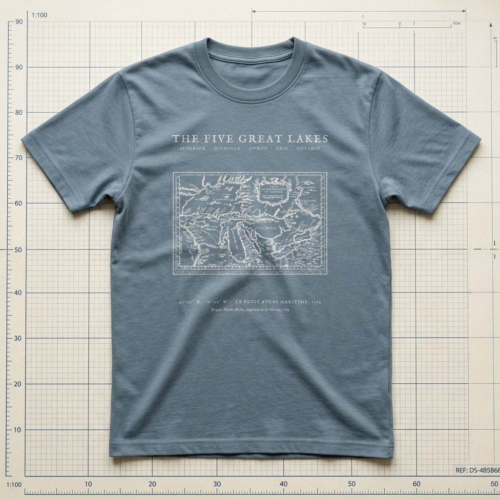
Superior • Michigan • Huron • Erie • Ontario • 1764Source ↗
Weathered Slate
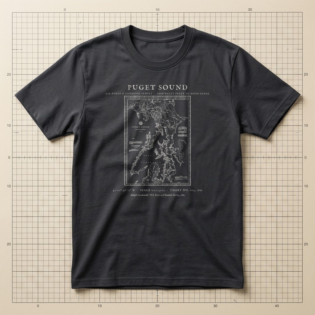
U.S.C.&G.S. Chart No. 662 • Admiralty Inlet to Hood Canal • 1889Source ↗
Graphite Charcoal
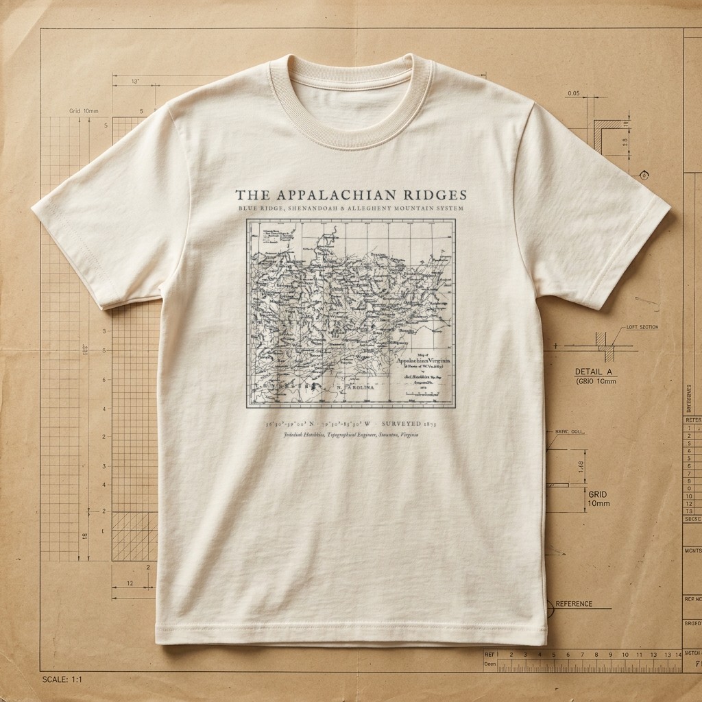
Jedediah Hotchkiss Topographical Survey • Blue Ridge & Alleghenies • 1873Source ↗
Drafting Paper Ivory
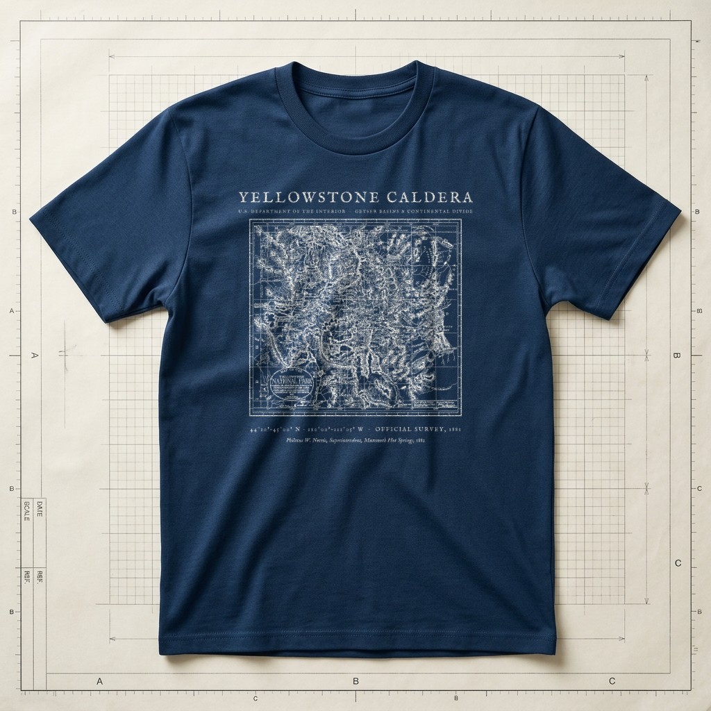
Continental Divide & Geyser Basins • Official Interior Survey 1881Source ↗
Prussian Blueprint Navy
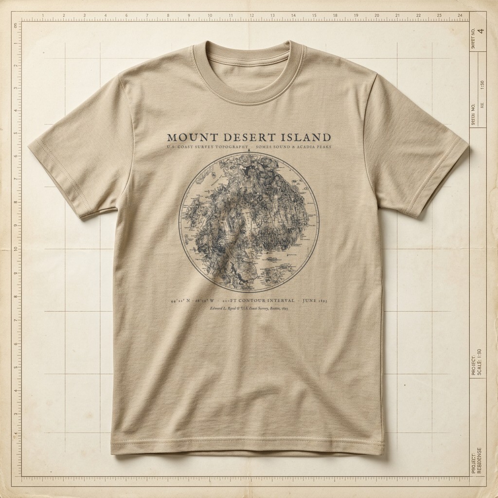
Acadia • Somes Sound & 20-Ft Coast Survey Contours • 1893Source ↗
Warm Sandstone
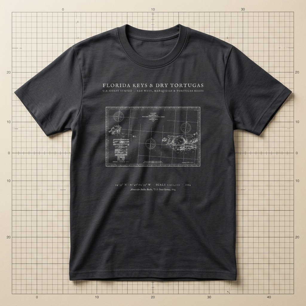
U.S. Coast Survey • Key West to Garden Key Reef Soundings • 1864Source ↗
Graphite Charcoal
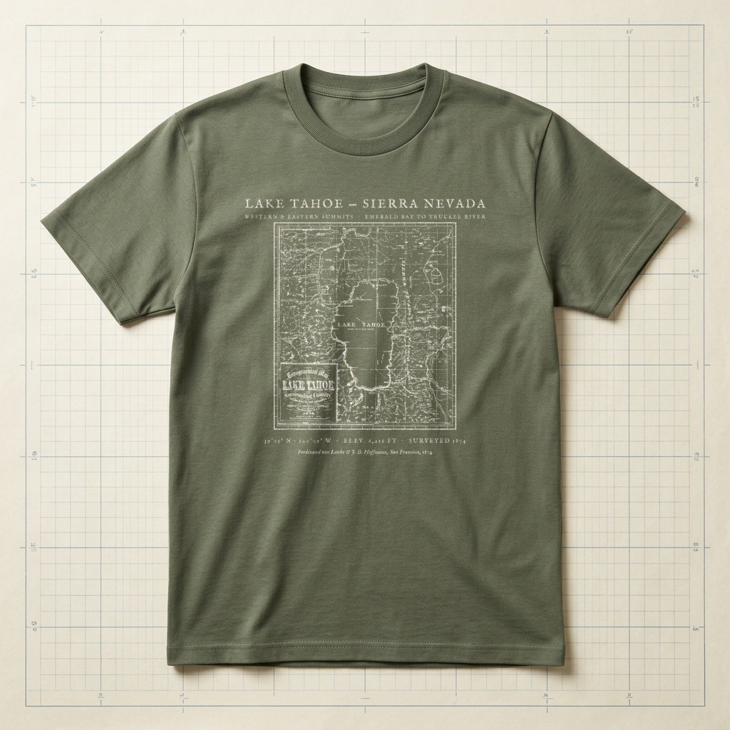
F. von Leicht & J. D. Hoffmann • Elev. 6,216 ft • 1874Source ↗
Field Olive
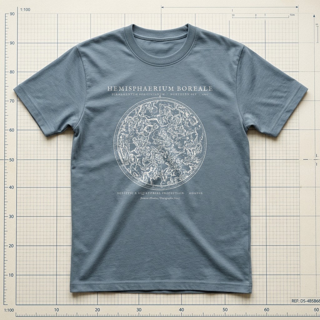
Johannes Hevelius • Northern Celestial Hemisphere (1690)Source ↗
Weathered Slate
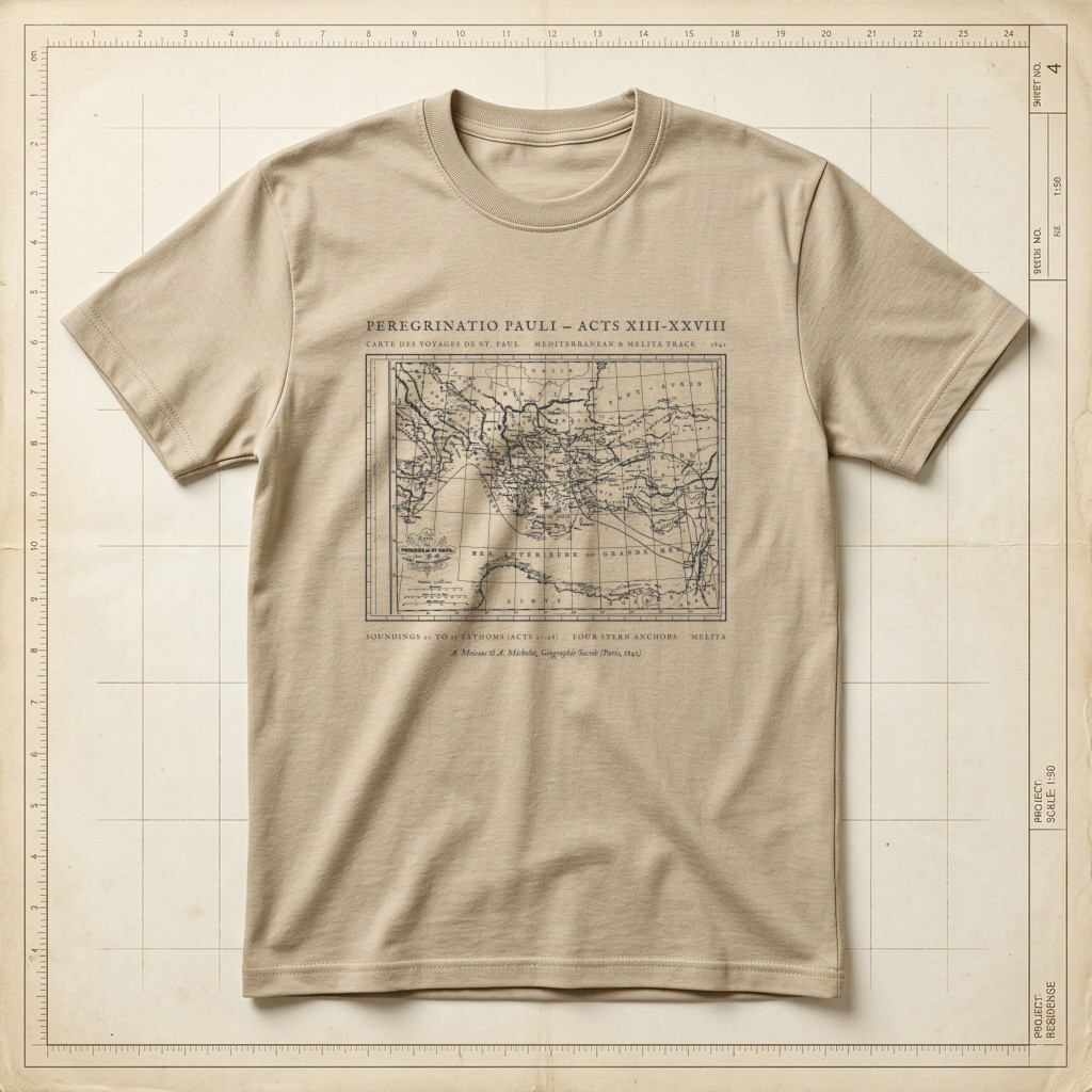
Acts 13–28 • 1841 Meissas & Michelot Mediterranean ChartSource ↗
Warm Sandstone
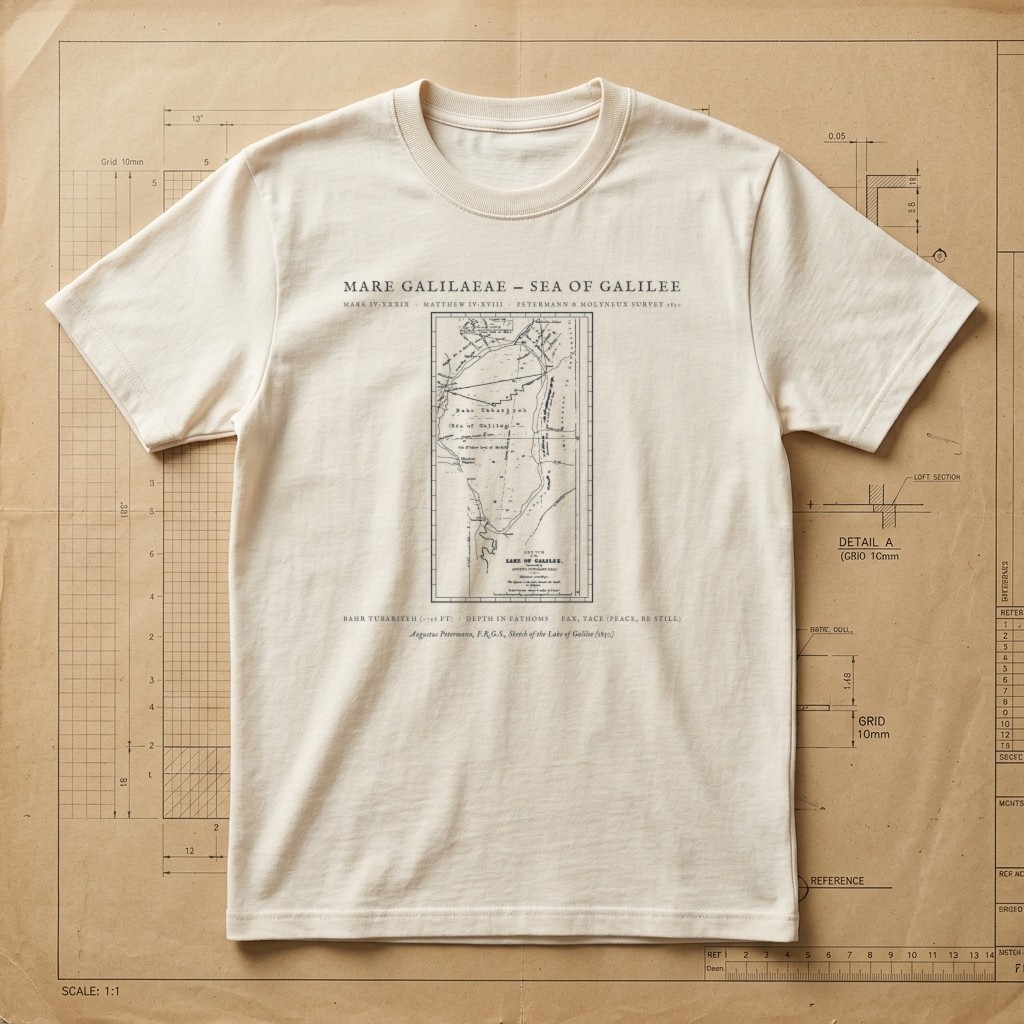
Mark 4:39 & Matthew 4:18 • 1850 Augustus Petermann Sea of Galilee SurveySource ↗
Drafting Paper Ivory
Explore Other Collections
View All 48 Plates → Collection I
Patent Drawings & Mechanical Inventions →
Authentic 19th- and early-20th-century mechanical patent illustrations featuring cross-sectional views (Fig. 1 & Fig. 2), gear assemblies, and original reference numerals.
Collection IIIArchitectural & Nautical Blueprints →
Clean architectural and naval drafting sheets showing wooden boat hull waterlines, backcountry timber-frame elevations, suspension spans, and structural cutaways.
Collection IVNaturalist Field Sketches & Geometric Studies →
Pencil-and-ink naturalist notebook drawings, ornithological wing kinematics, botanical morphology plates, and Renaissance compass-and-divider geometry.