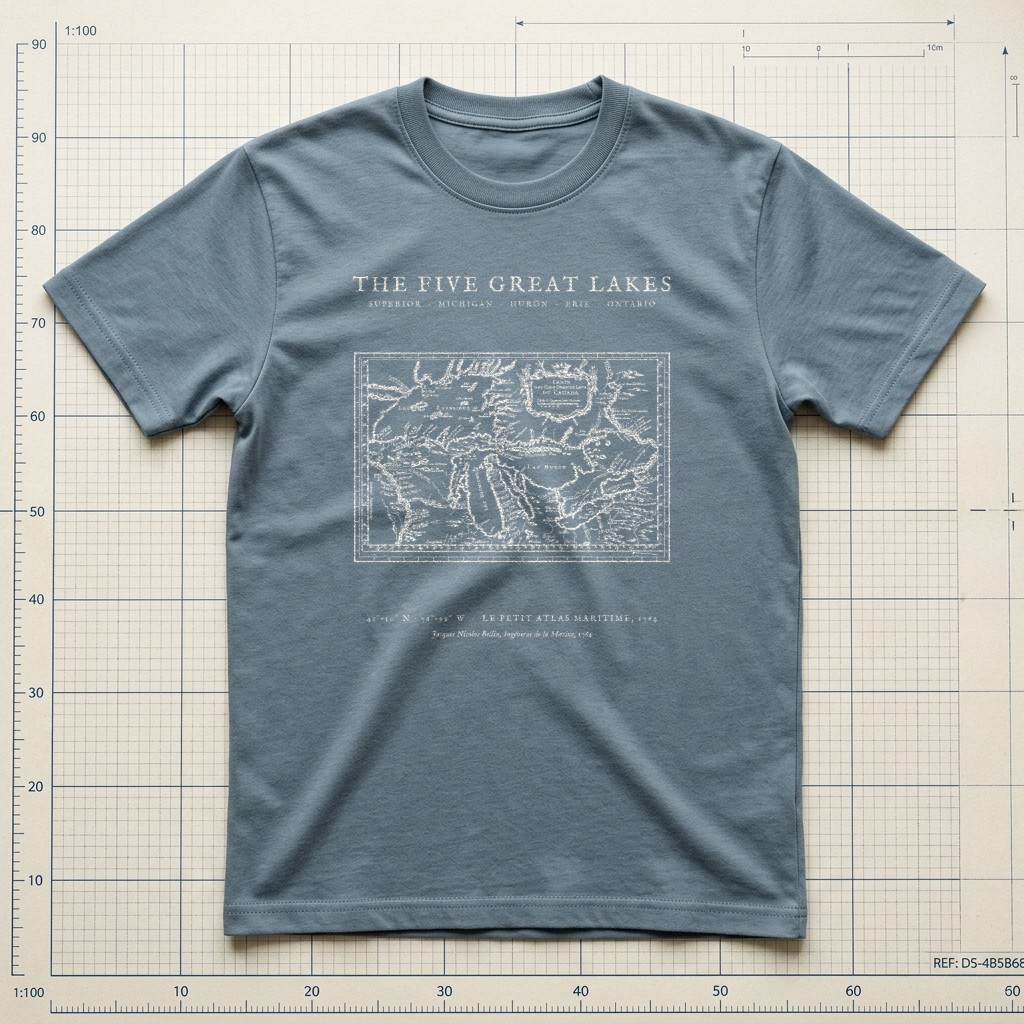
Superior • Michigan • Huron • Erie • Ontario • 1764
The Great Lakes 1764 Hydrographic Chart Tee
$32.00Heavyweight Garment-Dyed • Weathered Slate • Size S
Edition MediumArchival Apparel Tee
Restored from French Royal Hydrographer Jacques Nicolas Bellin’s 1764 copperplate chart, Carte des Cinq Grands Lacs du Canada, preserved in the Library of Congress Vault Collection. Depicts the entire inland freshwater sea network from Lac Supérieur and the Straits of Mackinac through Lac Michigan, Lac Huron, Lac Érié, and Lac Ontario, crowned by a rococo cartouche and graduated meridian border.
Historical Reference:Jacques Nicolas Bellin, "Carte des Cinq Grands Lacs du Canada" — Le Petit Atlas Maritime (1764)
View in Library of Congress Geography & Map Division1. Shirt WeightHeavyweight (6.1 oz)
2. Garment ColorWeathered Slate
3. SizeS – 2XL (2XL +$2.00)
Heavyweight Garment-Dyed MeasurementsPre-Shrunk US Cotton
Relaxed boxy fit. 100% ring-spun US cotton (6.1 oz) with a topstitched classic-width rib collar and twill-taped neck and shoulders. Garment-dyed for virtually zero shrinkage.
| Size | Chest Width | Body Length |
|---|---|---|
| S | 18.25" | 26.6" |
| M | 20.25" | 28" |
| L | 22" | 29.4" |
| XL | 24" | 30.75" |
| 2XL (+$2.00) | 26" | 31.6" |
Studio Design Pulse•MD-M05
What do you think of this design?
Tell us what you love or what you would change about the illustration, wording, banner layout, or shirt colors.
Collection II
View All 12 in II. Maps →
More from Hand-Drawn Maps & Antiquarian Charts
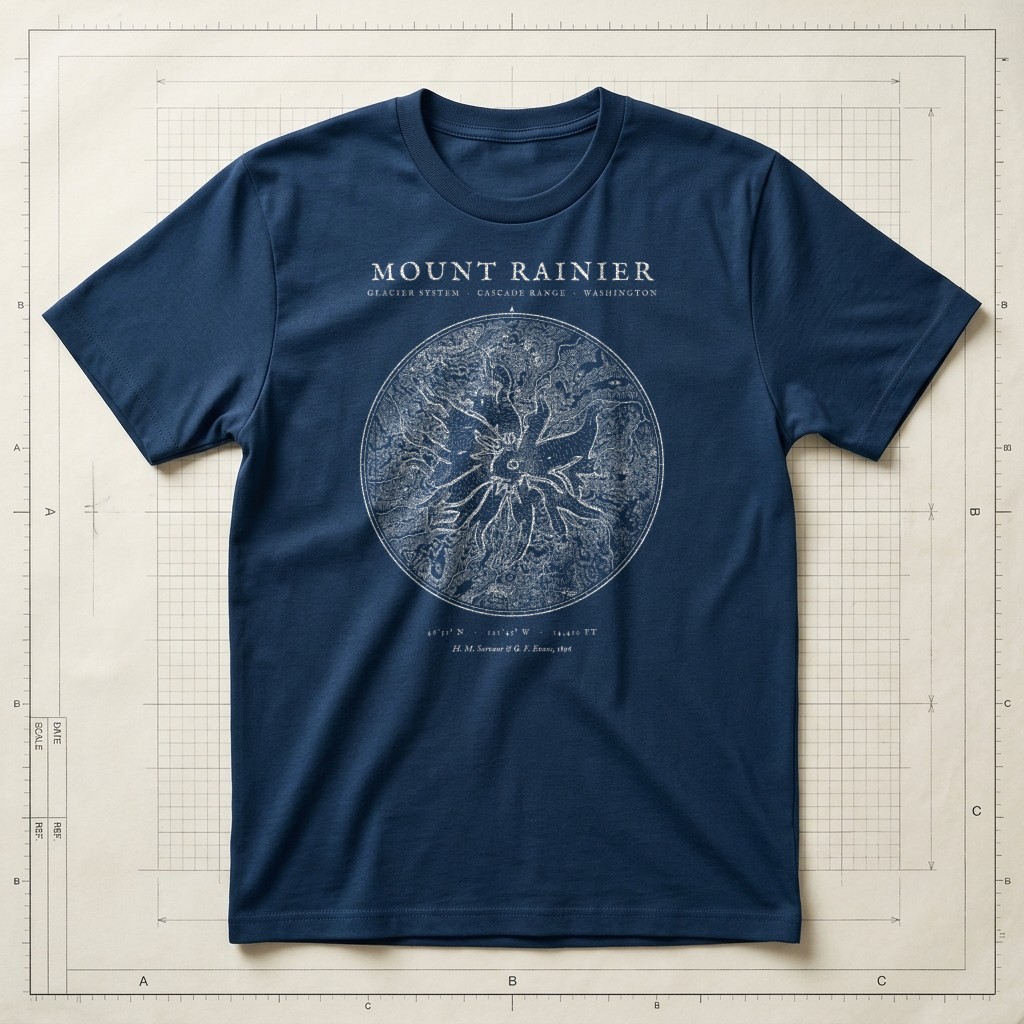
1896 Glacier Survey • 46°51′N 121°45′WSource ↗
Prussian Blueprint Navy
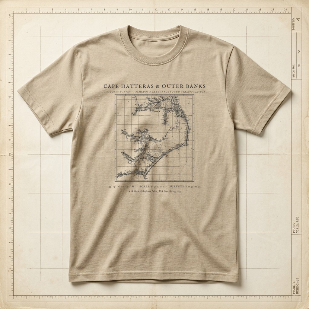
U.S. Coast Survey • Pamlico Sound & Diamond Shoals TriangulationSource ↗
Warm Sandstone
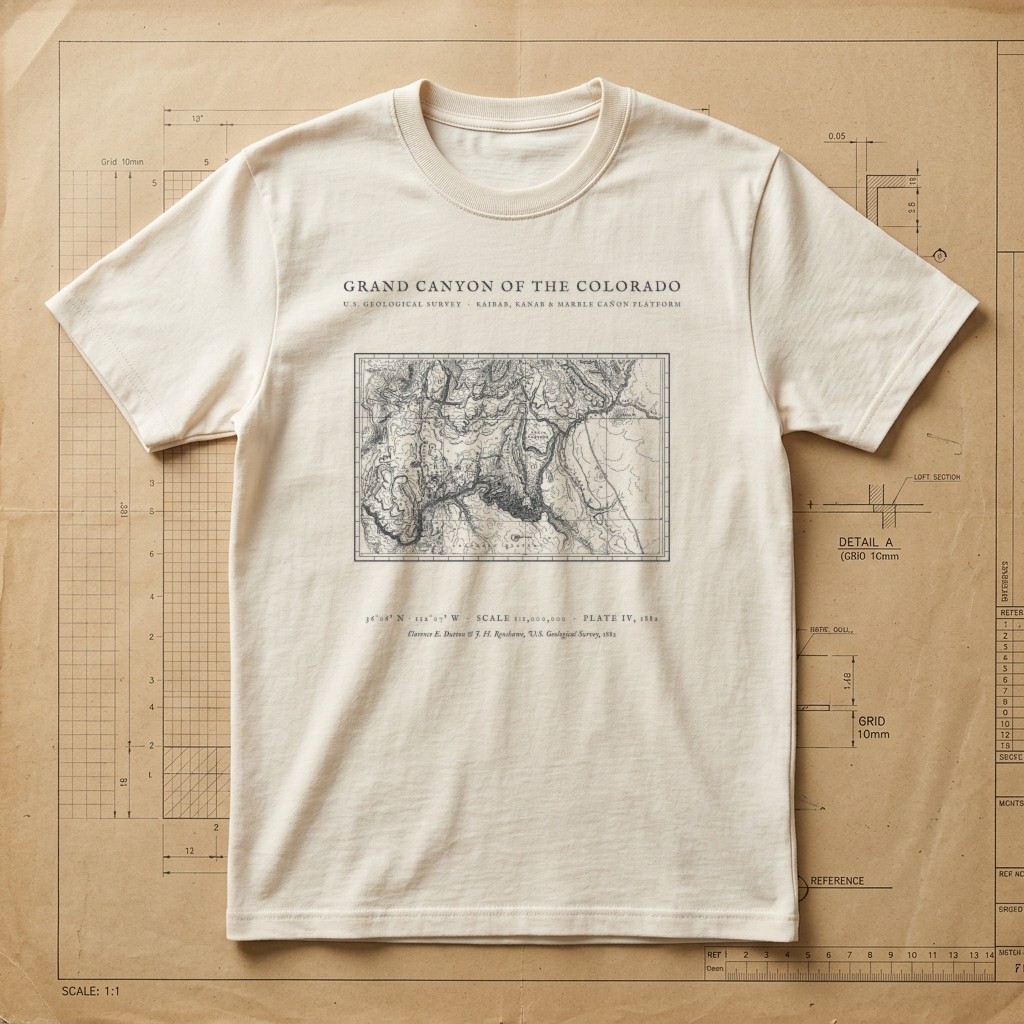
Clarence E. Dutton USGS Plate IV • Kaibab to Marble Cañon • 1882Source ↗
Drafting Paper Ivory
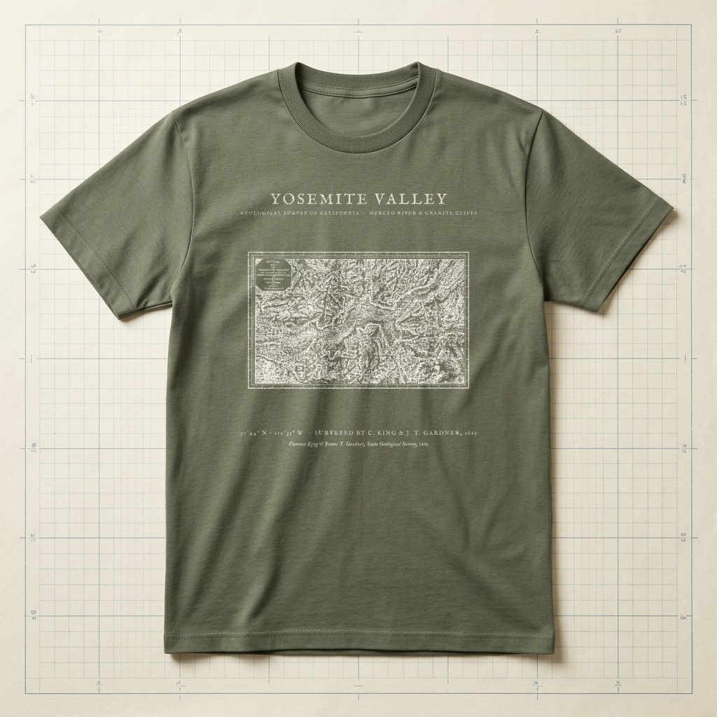
El Capitan • Half Dome • Merced River • 1865 SurveySource ↗
Field Olive