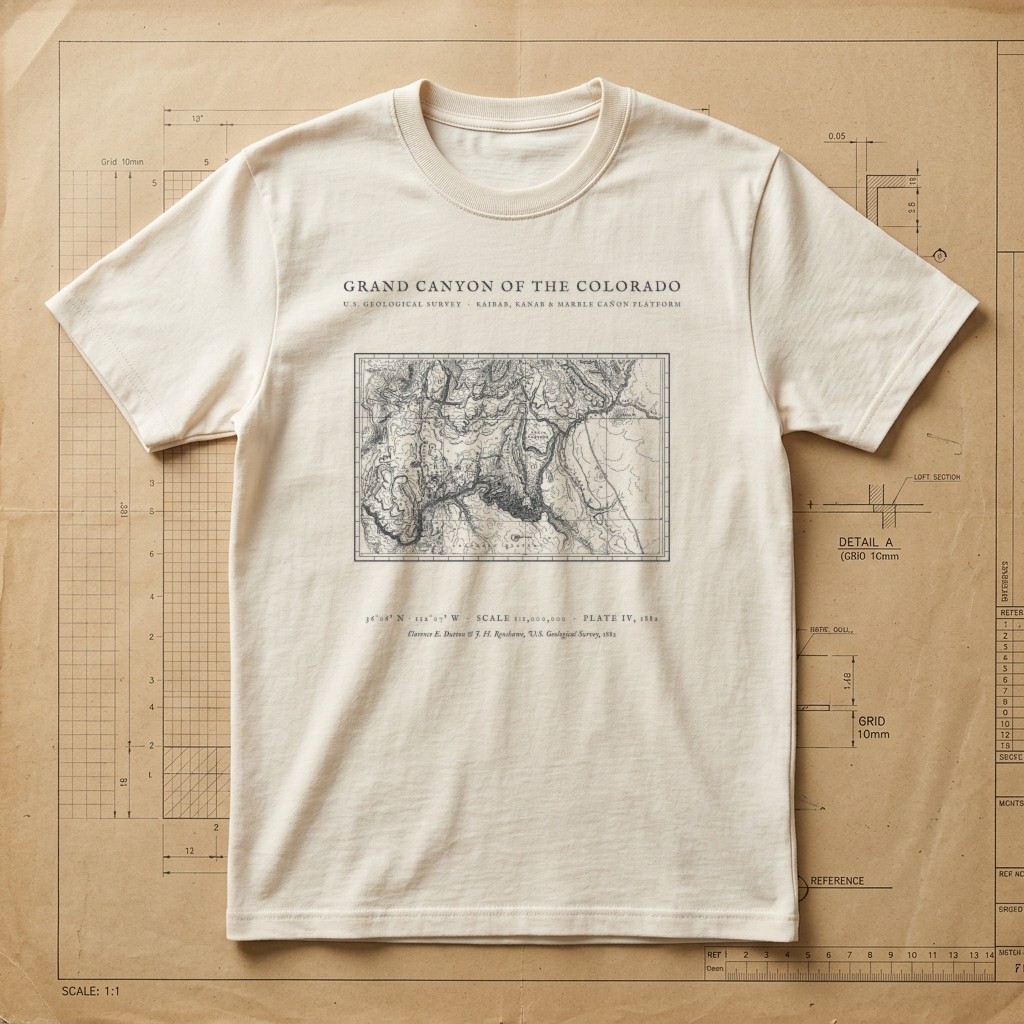
Clarence E. Dutton USGS Plate IV • Kaibab to Marble Cañon • 1882
Grand Canyon of the Colorado 1882 Survey Tee
$32.00Heavyweight Garment-Dyed • Drafting Paper Ivory • Size S
Edition MediumArchival Apparel Tee
Restored from Plate IV of Captain Clarence Edward Dutton’s celebrated 1882 U.S. Geological Survey monograph, Tertiary History of the Grand Cañon District, with topography by J. H. Renshawe. Maps the incised gorge of the Colorado River from Marble Cañon and the Echo Cliffs across the Kaibab, Kanab, and Shivwits Plateaus to the Hurricane Ledge and Vermilion Cliffs.
Historical Reference:Clarence E. Dutton & J. H. Renshawe, "Map of the Grand Cañon Platform" — USGS Monograph II, Pl. IV (1882)
View in Wikimedia Commons / David Rumsey Map Collection1. Shirt WeightHeavyweight (6.1 oz)
2. Garment ColorDrafting Paper Ivory
3. SizeS – 2XL (2XL +$2.00)
Heavyweight Garment-Dyed MeasurementsPre-Shrunk US Cotton
Relaxed boxy fit. 100% ring-spun US cotton (6.1 oz) with a topstitched classic-width rib collar and twill-taped neck and shoulders. Garment-dyed for virtually zero shrinkage.
| Size | Chest Width | Body Length |
|---|---|---|
| S | 18.25" | 26.6" |
| M | 20.25" | 28" |
| L | 22" | 29.4" |
| XL | 24" | 30.75" |
| 2XL (+$2.00) | 26" | 31.6" |
Studio Design Pulse•MD-M03
What do you think of this design?
Tell us what you love or what you would change about the illustration, wording, banner layout, or shirt colors.
Collection II
View All 12 in II. Maps →