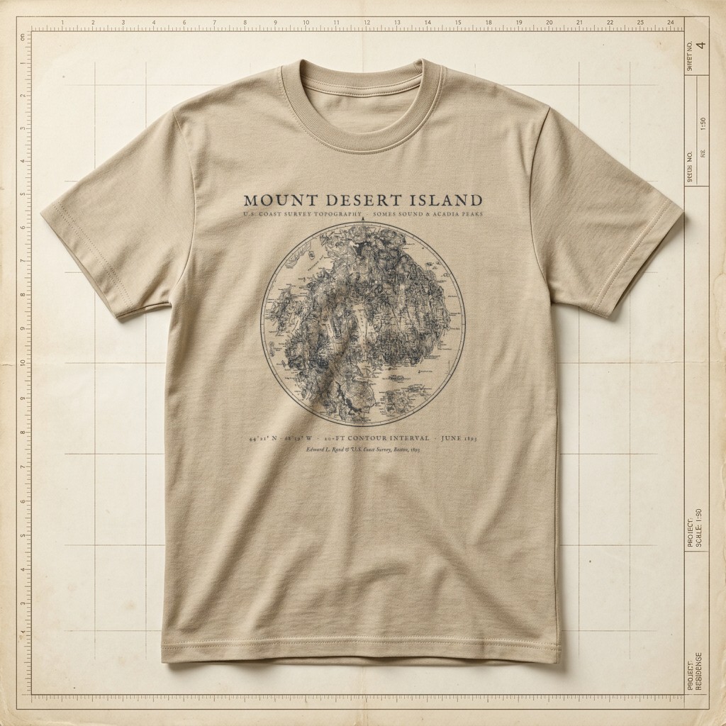
Acadia • Somes Sound & 20-Ft Coast Survey Contours • 1893
Mount Desert Island 1893 Topographic Map Tee
$32.00Heavyweight Garment-Dyed • Warm Sandstone • Size S
Edition MediumArchival Apparel Tee
Restored from Edward Lothrop Rand’s June 1893 topographic survey of Mount Desert Island, Maine, adapted from U.S. Coast Survey 20-foot contour sheets. Frames the glacial fjord of Somes Sound, Eagle Lake, Jordan Pond, Green Mountain (Cadillac Mountain), Sargent Mountain, Bar Harbor, and the Cranberry Isles inside a circular survey bezel.
Historical Reference:Edward L. Rand & U.S. Coast Survey, "Map of Mount Desert Island, Maine" (June 1893)
View in Library of Congress Geography & Map Division1. Shirt WeightHeavyweight (6.1 oz)
2. Garment ColorWarm Sandstone
3. SizeS – 2XL (2XL +$2.00)
Heavyweight Garment-Dyed MeasurementsPre-Shrunk US Cotton
Relaxed boxy fit. 100% ring-spun US cotton (6.1 oz) with a topstitched classic-width rib collar and twill-taped neck and shoulders. Garment-dyed for virtually zero shrinkage.
| Size | Chest Width | Body Length |
|---|---|---|
| S | 18.25" | 26.6" |
| M | 20.25" | 28" |
| L | 22" | 29.4" |
| XL | 24" | 30.75" |
| 2XL (+$2.00) | 26" | 31.6" |
Studio Design Pulse•MD-M09
What do you think of this design?
Tell us what you love or what you would change about the illustration, wording, banner layout, or shirt colors.
Collection II
View All 12 in II. Maps →
More from Hand-Drawn Maps & Antiquarian Charts
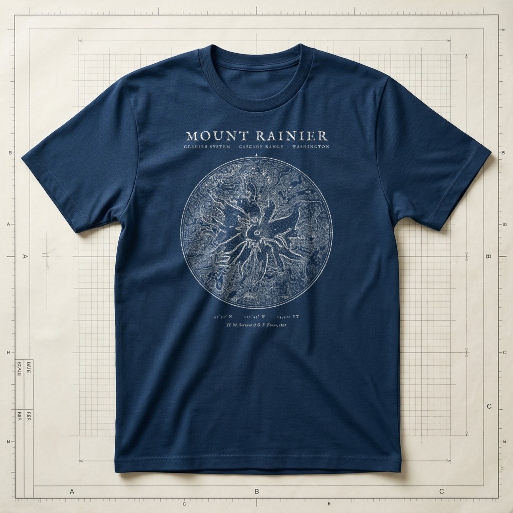
1896 Glacier Survey • 46°51′N 121°45′WSource ↗
Prussian Blueprint Navy
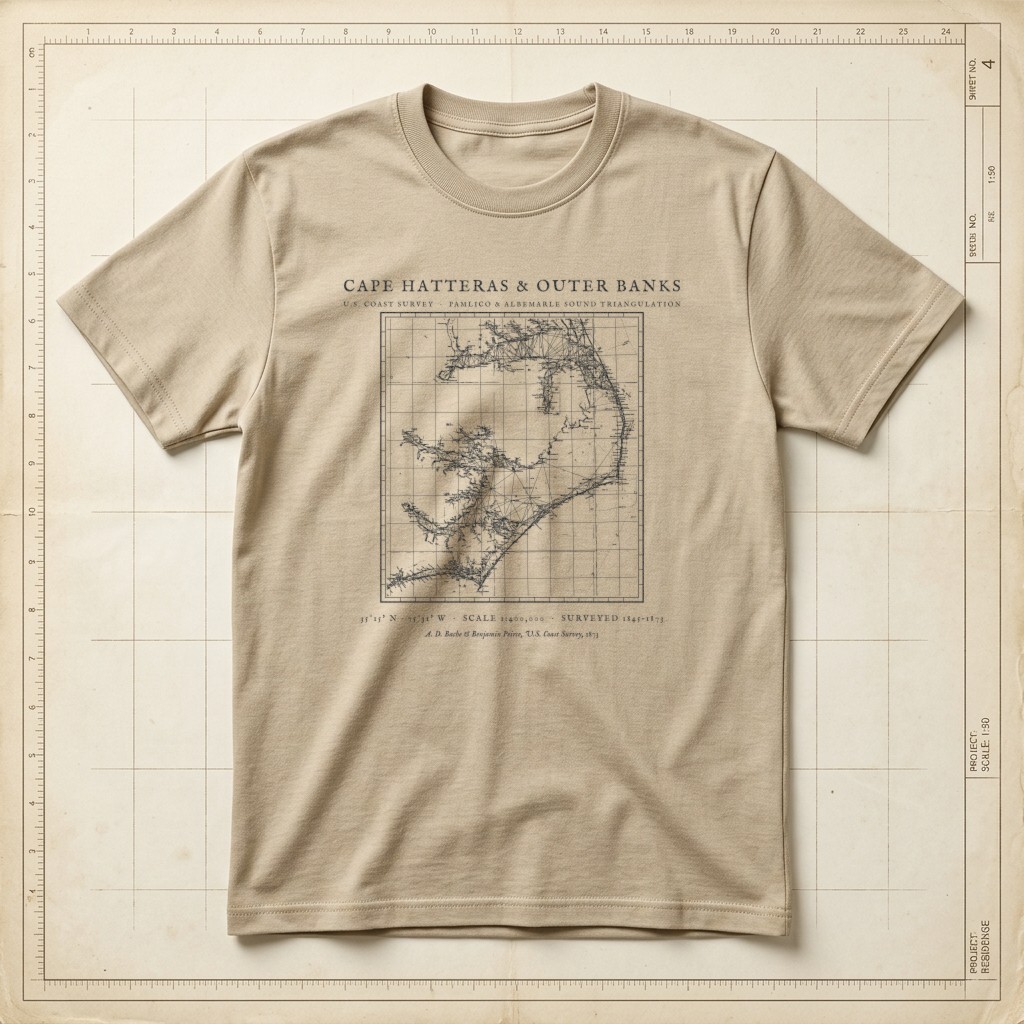
U.S. Coast Survey • Pamlico Sound & Diamond Shoals TriangulationSource ↗
Warm Sandstone
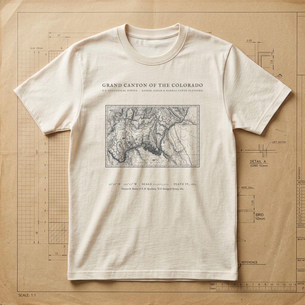
Clarence E. Dutton USGS Plate IV • Kaibab to Marble Cañon • 1882Source ↗
Drafting Paper Ivory

El Capitan • Half Dome • Merced River • 1865 SurveySource ↗
Field Olive