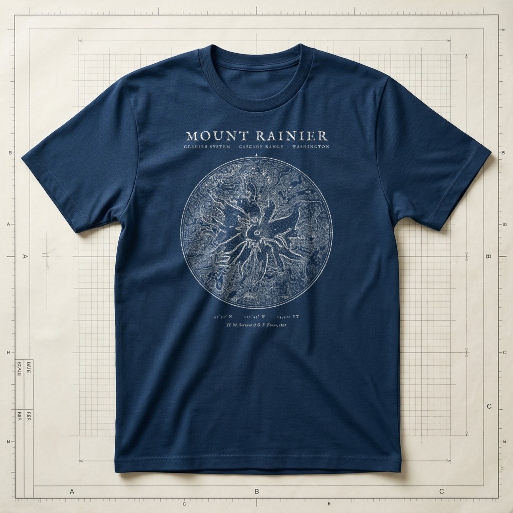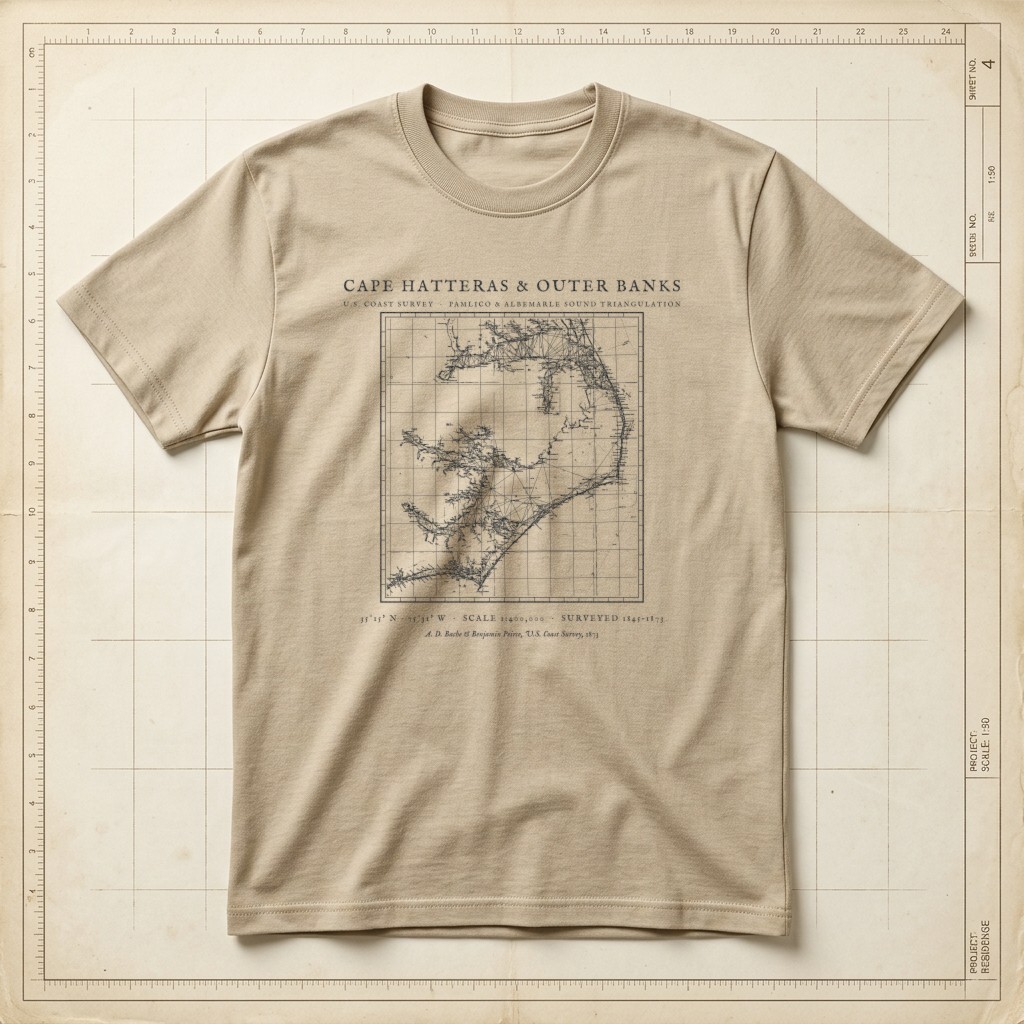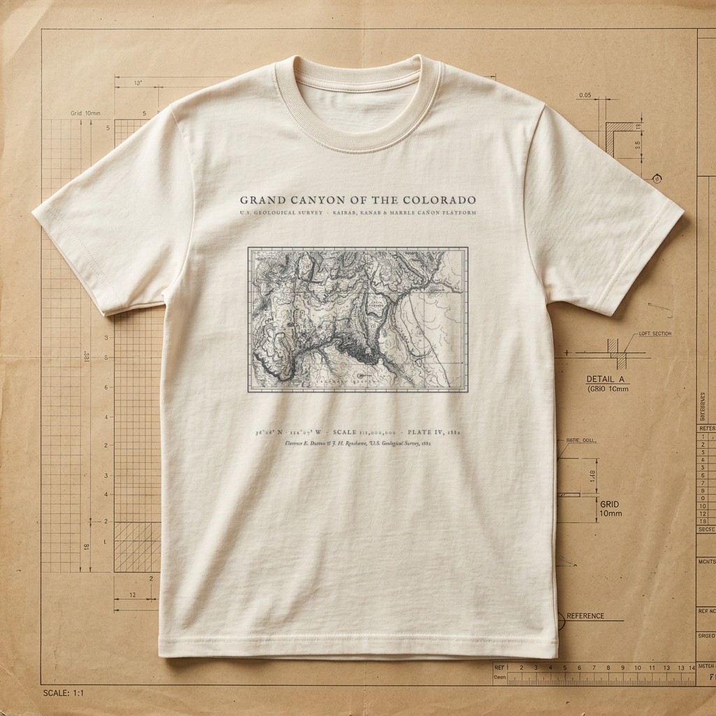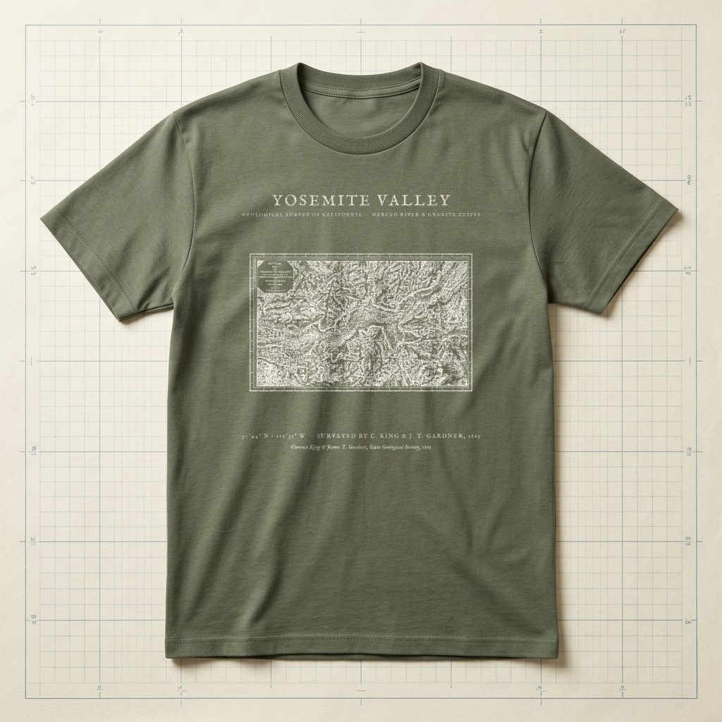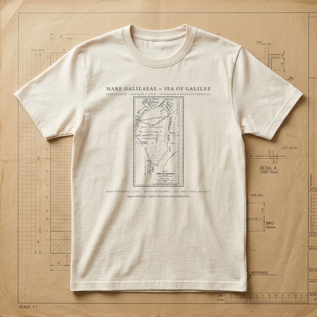
Mark 4:39 & Matthew 4:18 • 1850 Augustus Petermann Sea of Galilee Survey
Mare Galilaeae — 1850 Sea of Galilee Bathymetric Map Tee
“And he awoke and rebuked the wind and said to the sea, ‘Peace! Be still!’ And the wind ceased, and there was a great calm.” — Mark 4:39 (ESV) · “While walking by the Sea of Galilee, he saw two brothers, Simon (who is called Peter) and Andrew his brother, casting a net into the sea, for they were fishermen. And he said to them, ‘Follow me, and I will make you fishers of men.’” — Matthew 4:18–19 (ESV. Restored from Royal Geographical Society cartographer Augustus Petermann’s 1850 copperplate chart Sketch of the Lake of Galilee (Harvard Map Collection), incorporating Lt. T. H. Molyneux’s Royal Navy depth soundings in fathoms. Depicts the entire Sea of Galilee (Bahr Tubariyeh), the Horns of Hattin (Mount of Beatitudes), Capernaum, Chorazin, Bethsaida, Magdala, Tiberias, and the steep eastern hills of Gaulanitis.
Relaxed boxy fit. 100% ring-spun US cotton (6.1 oz) with a topstitched classic-width rib collar and twill-taped neck and shoulders. Garment-dyed for virtually zero shrinkage.
| Size | Chest Width | Body Length |
|---|---|---|
| S | 18.25" | 26.6" |
| M | 20.25" | 28" |
| L | 22" | 29.4" |
| XL | 24" | 30.75" |
| 2XL (+$2.00) | 26" | 31.6" |
What do you think of this design?
Tell us what you love or what you would change about the illustration, wording, banner layout, or shirt colors.
More from Hand-Drawn Maps & Antiquarian Charts