
U.S. Coast Survey • Key West to Garden Key Reef Soundings • 1864
Florida Keys & Dry Tortugas 1864 Chart Tee
$32.00Heavyweight Garment-Dyed • Graphite Charcoal • Size S
Edition MediumArchival Apparel Tee
Restored from Superintendent Alexander Dallas Bache’s 1864 U.S. Coast Survey hydrographic chart of the western Florida Reefs and Dry Tortugas. Maps Key West, Boca Chica, the Marquesas atoll, Rebecca Shoal, and Garden and Loggerhead Keys at Dry Tortugas with twin magnetic compass roses, tide tables, and fathom soundings along the Florida Straits.
Historical Reference:U.S. Coast Survey, "Preliminary Chart of Western End of Florida Reefs Including the Tortugas Keys" (1864)
View in Library of Congress Geography & Map Division1. Shirt WeightHeavyweight (6.1 oz)
2. Garment ColorGraphite Charcoal
3. SizeS – 2XL (2XL +$2.00)
Heavyweight Garment-Dyed MeasurementsPre-Shrunk US Cotton
Relaxed boxy fit. 100% ring-spun US cotton (6.1 oz) with a topstitched classic-width rib collar and twill-taped neck and shoulders. Garment-dyed for virtually zero shrinkage.
| Size | Chest Width | Body Length |
|---|---|---|
| S | 18.25" | 26.6" |
| M | 20.25" | 28" |
| L | 22" | 29.4" |
| XL | 24" | 30.75" |
| 2XL (+$2.00) | 26" | 31.6" |
Studio Design Pulse•MD-M10
What do you think of this design?
Tell us what you love or what you would change about the illustration, wording, banner layout, or shirt colors.
Collection II
View All 12 in II. Maps →
More from Hand-Drawn Maps & Antiquarian Charts
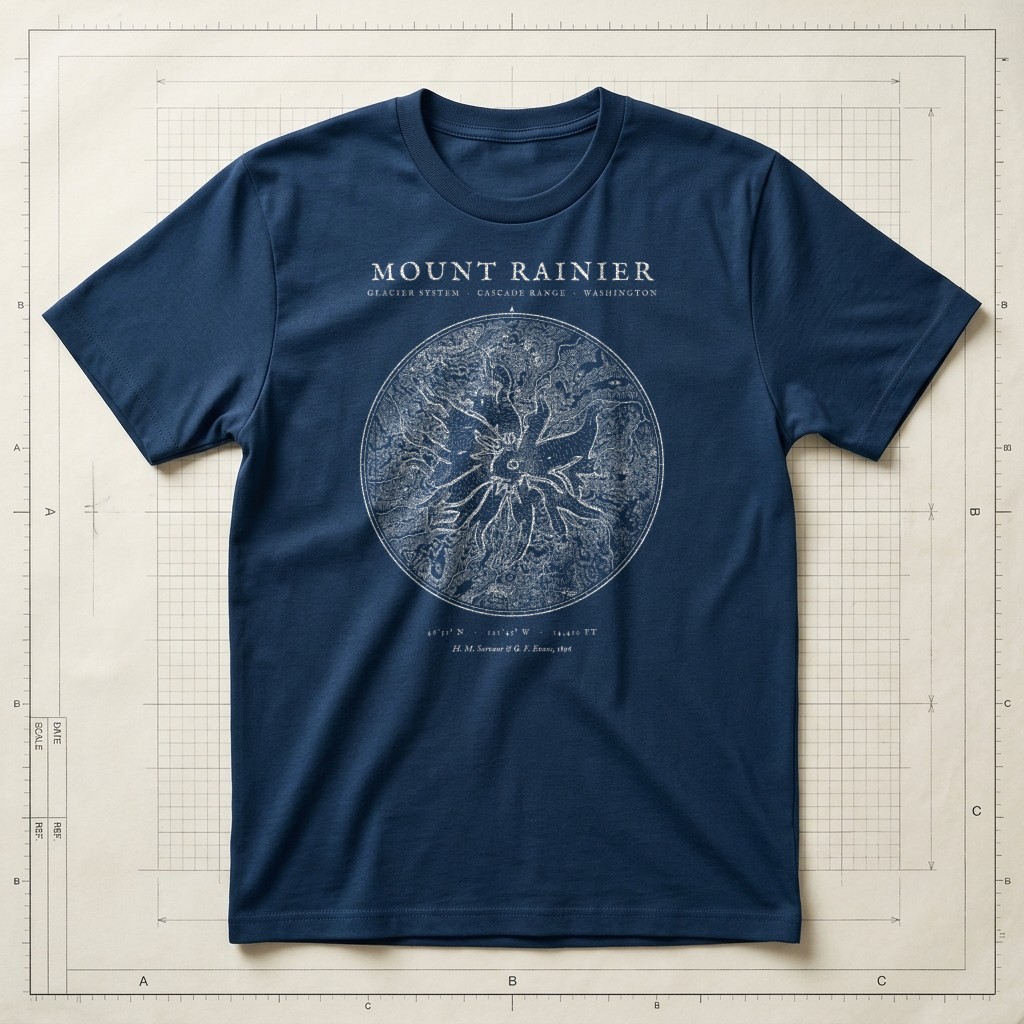
1896 Glacier Survey • 46°51′N 121°45′WSource ↗
Prussian Blueprint Navy
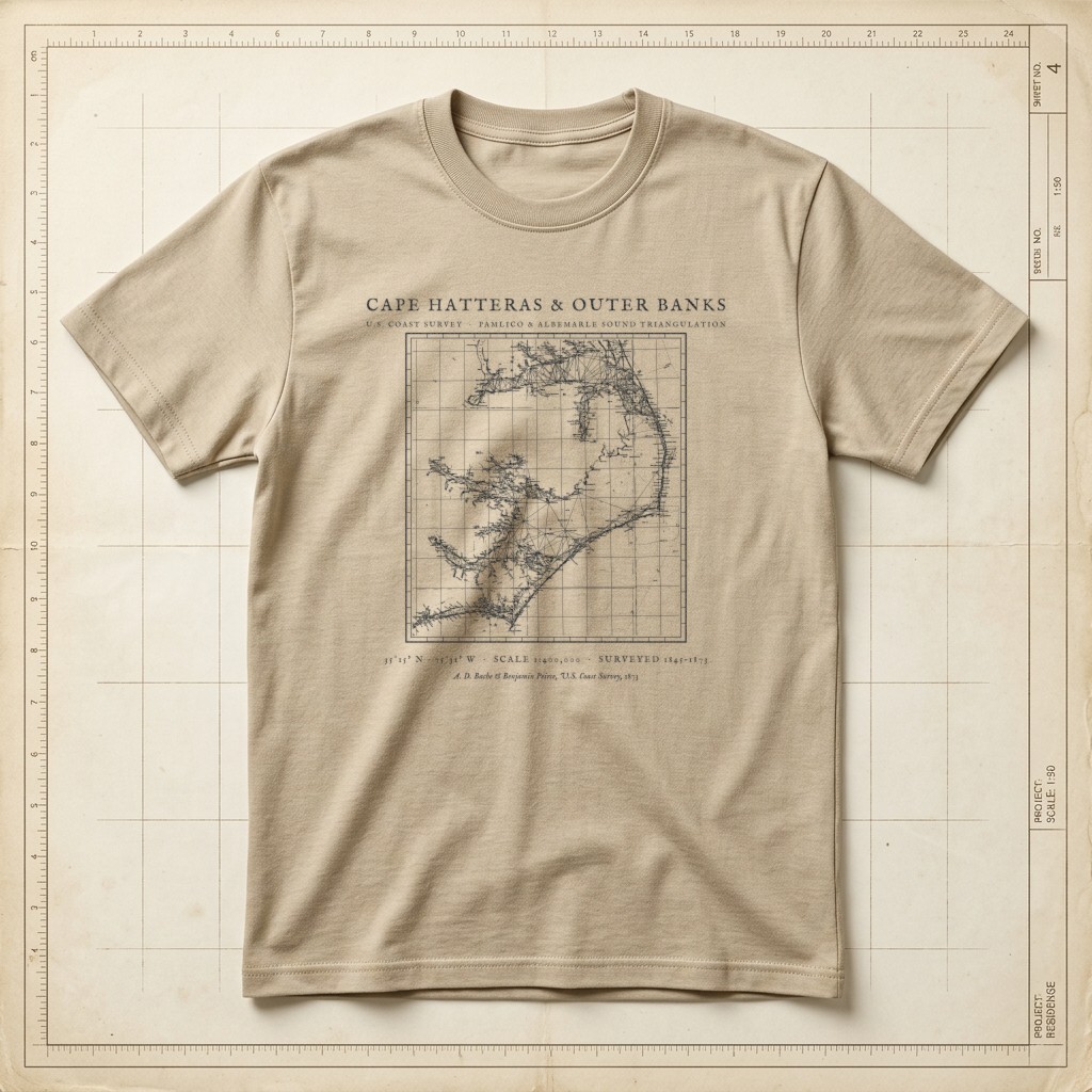
U.S. Coast Survey • Pamlico Sound & Diamond Shoals TriangulationSource ↗
Warm Sandstone
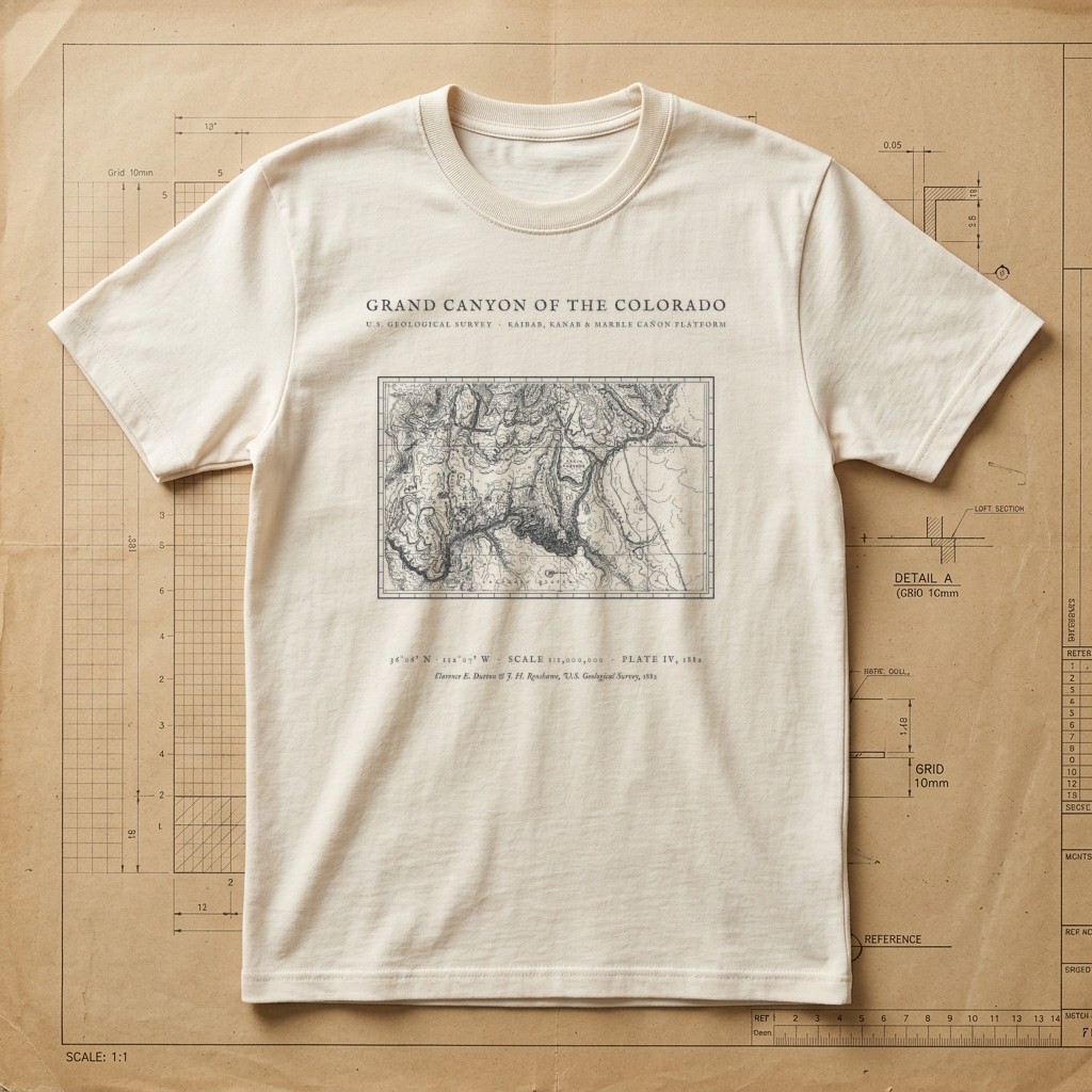
Clarence E. Dutton USGS Plate IV • Kaibab to Marble Cañon • 1882Source ↗
Drafting Paper Ivory
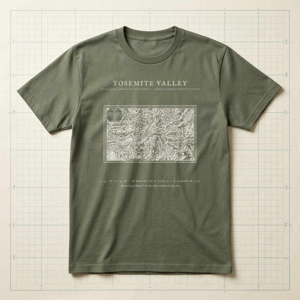
El Capitan • Half Dome • Merced River • 1865 SurveySource ↗
Field Olive