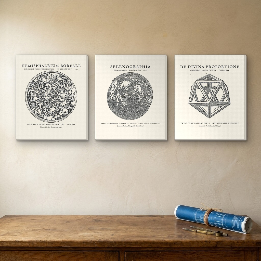
1509–1690 Astronomical & Polyhedral Plates • Hevelius Star Map, Selenographia & Da Vinci Icosahedron
•3-Panel Stretched Canvas SetCelestial Cartography & Renaissance Geometry Trio (3-Panel Canvas Set)
Three circular and perspective masterworks of early modern astronomy and mathematical proportion arranged as a balanced study triptych: Johannes Hevelius’s 1690 Northern Celestial Hemisphere star chart (Hemisphaerium Boreale · M-12), Hevelius’s 1647 telescopic lunar map (Selenographia, Fig. Q · S-12), and Leonardo da Vinci’s 1509 perspective woodcut of the open-frame skeletal icosahedron from Luca Pacioli’s De Divina Proportione (S-10).
Archival matte cotton-poly canvas (344 gsm) hand-stretched over kiln-dried 1.25" solid pine stretcher bars with color-wrapped architectural edges and pre-installed hanging hardware.
| Format | Per-Panel Dimensions | 3-Panel Wall Span |
|---|---|---|
| 12 × 16 in | 12" W × 16" H × 1.25" D | 42" W × 16" H (with 3" spacing) |
| 16 × 20 in | 16" W × 20" H × 1.25" D | 54" W × 20" H (with 3" spacing) |
| 24 × 30 in | 24" W × 30" H × 1.25" D | 78" W × 30" H (with 3" spacing) |
What do you think of this design?
Tell us what you love or what you would change about the illustration, wording, banner layout, or shirt colors.
More from Hand-Drawn Maps & Antiquarian Charts