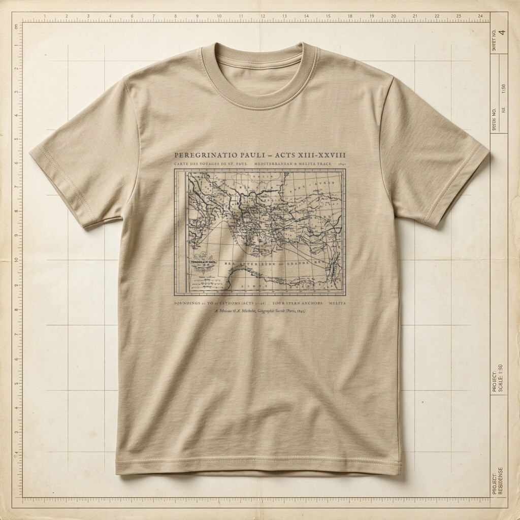
Acts 13–28 • 1841 Meissas & Michelot Mediterranean Chart
Peregrinatio Pauli — 1841 Voyages of St. Paul Map Tee
“Set apart for me Barnabas and Saul for the work to which I have called them.” — Acts 13:2 (ESV) · “And taking soundings, they found twenty fathoms, and a little farther on they took soundings again and found fifteen fathoms. And fearing that we might run on the rocks, they let down four anchors from the stern and prayed for day to come.” — Acts 27:28–29 (ESV. Restored from French geographers Achille Meissas and Auguste Michelot’s 1841 steel-engraved Carte des Voyages de St. Paul (Paris. Charts the entire Eastern and Central Mediterranean theatre of the Book of Acts from Antioch, Tarsus, Cyprus, and Asia Minor across the Aegean to Philippi, Thessalonica, Athens, and Corinth, and westward across the Sea of Crete and Adria to the shipwreck island of Melita (Malta), Syracuse, Puteoli, and Rome.
Relaxed boxy fit. 100% ring-spun US cotton (6.1 oz) with a topstitched classic-width rib collar and twill-taped neck and shoulders. Garment-dyed for virtually zero shrinkage.
| Size | Chest Width | Body Length |
|---|---|---|
| S | 18.25" | 26.6" |
| M | 20.25" | 28" |
| L | 22" | 29.4" |
| XL | 24" | 30.75" |
| 2XL (+$2.00) | 26" | 31.6" |
What do you think of this design?
Tell us what you love or what you would change about the illustration, wording, banner layout, or shirt colors.
More from Hand-Drawn Maps & Antiquarian Charts